Presqu’ile Provincial Park Paddling Routes
1) Calf Pasture Cove to Presqu’ile Point Lighthouse
Route Overview
Difficulty: Novice to Intermediate; potential exposure to big water paddling
Distance: 4km round-trip from launch to lighthouse & return
Portages: None
Shuttle Info: Not necessary
2) Presqu’ile Bay
Route Overview
Difficulty: Novice to Intermediate; potential exposure to big water paddling
Distance: 8km round trip or more, depending on how much of Presqu’ile Bay you explore
Portages: None
Shuttle Info: Not necessary
Free Floating: The Inland Sea
Most paddlers can attest that, as soon as you push off and feel your weight buoyed by the boat, you leave behind the weight of your worries on the land. Like the weight of a canoe after a long portage trail, my day-to-day concerns remain mostly onshore and I leave them ever-further behind with each paddle stroke.
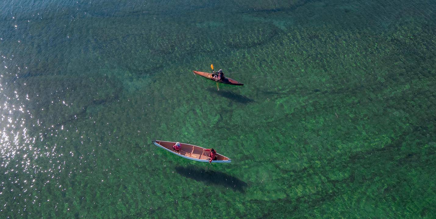
As you can imagine, this effect is magnified by the scope of the horizon of the lake you’ve launched onto. While most paddlers associate Ontario with smaller pine-fringed lakes and rivers, our province actually contains almost 4000 kms of coastal paddling opportunities along our stretch of the Great Lakes, Lake of the Woods, as well as James Bay and Hudson Bay. For some paddlers, a canoe or kayak trip on Ontario’s far northern coasts is a bucket list adventure that requires years of dreaming and scheming. However, you can launch an expedition on an inland sea from Kawarthas Northumberland in an afternoon, when you consider our region’s big water coastline.
In fact, some GTA geographers are trying to recast our understanding of our relationship to Ontario’s coasts with the #ActuallyASea campaign. Daniel Rotsztain believes that the names “sea” and “lake” are more than just semantics, and that we do a disservice to our relationship to the massive and mysterious body of water by designating it a lake. Rotsztain believes “a lake is something knowable and safe…calm waters that you dip your feet in at the cottage.” A sea on the other hand, is a “more appropriate word for what Lake Ontario is, and by calling it a sea, we can elevate the status of the waters in our minds” to more accurately reflect its power and history.


Presqu’ile: A Birding Hotspot
Located just west of the the Murray Canal and Prince Edward County, Presqu’ile Provincial Park dips like a loon’s articulated wing into the turquoise blue water of our nearest inland sea, Lake Ontario. At just under ten square kilometers, Presqu’ile is a tiny provincial park, but it is a migratory bird hotspot. Presqu’ile is a world class destination for waterfowl, wader and warbler migrations. The ducks, geese and swans begin to return to the park’s waters in early March, while the songbirds wait until May. Loons and black terns also nest here. In all, no less than 338 species have been confirmed in the park, 130 of which actually breed and nest there.
The park’s location in Lake Ontario is actually at the intersection of the Mississippi and Atlantic migration flyways, partly accounting for the abundance of birdlife in the area. Furthermore, the wing-shaped peninsula of the park is particularly attractive to bird species because it is the first land they see when flying across Lake Ontario from points immediately south. The park is also a great place to see the migration of insects, including the mesmerizing migration of the monarch butterfly. Park Naturalists provide excellent natural heritage education programs, including daily guided walks, campfire programs, and children’s programs.
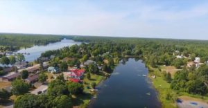
Paddling Presqu’ile Bay
There’s no better way to experience this park than to drop into the sheltered waters of Presqu’ile Bay, off Bayshore Road, and explore the sand dunes that extend into the marshy wetlands like feathers on the underside of the peninsula’s wing. This is a deep-south paddling experience impossible anywhere else in Ontario, or Canada for that matter, where rails and bittern forage among the golden sedge and disappear in the hanging foliage of monstrous weeping willows. You’d be forgiven for losing yourself and thinking you’re in the Bayou.
Our route for the day combined elements of both marsh and coastal paddling, and included views of one of Ontario’s most historic shoreline landmarks. Follow Bayshore Road to the vehicle parking area in Calf Pasture Cove and pick any number of accessible sites to launch your boats. We paddled east along Presqu’ile Point until the marshy water began to take on an aquamarine hue. Following the shoreline round the point we paused to take in the views of our province’s second-oldest lighthouse. The white-washed hexagonal tower immediately signals safe passage in big water and makes you want to pull out the naval charts to assess the crossing to Prince Edward County, whose shores are visible in the distance to the east.
Instead, our growing appetites coaxed us back to the Calf Pasture and onwards to Brighton and the Harbourview Marina Café. We returned to land and enjoyed a hearty second breakfast. With renewed energy, we went back out on the water and paddled to our original departure point near Calf Pasture Cove.
More Paddling Routes
By the (Inland) Sea Shore
Back on land, we faced our earlier concerns with an invigorated sense of confidence buoyed by our memories of the line where the sky meets the inland sea. We decided to re-visit that view of the endless horizon by exploring some of the southern and western shorelines by foot. With more than 15 kilometeres of variegated shoreline, Presqu’ile is a gem for anyone whose heart longs to explore shorelines.
If clear, turquoise waters and wide-open seascapes are your thing, take a hike along the southwestern edge of the High Bluff Campground, and explore the sandy crescent beaches with spectacular views of the offshore sandbar islands, lending this park a seaside feel. I’ll never forget the profiles of these islands sharpened by the backdrop of an interminable sea-to-sky horizon paralleled by a pure white cloudbank that formed, like a fringe, ten degrees from the water’s surface and stopped just as abruptly. This is Brighton’s own taste of the Caribbean.
Presqu’ile’s western stretches (approx. 3.5km) of sandy and rocky shoreline make for a perfect toddler’s playground. On our trip, daddy and daughter explored the freshwater equivalent of tidepools around the elbow from the southern shore to the western sandy beach and enjoyed splashing and swimming in Popham Bay. Suffice it to say, it was the perfect end to the perfect day.
https://www.instagram.com/p/Bnm8JVNAi2Z
Gull Island & High Bluff Island
Off the southern coast of Presqu’ile Provincial Park are two islands, Gull and High Bluff. These islands are ecologically sensitive and protected nesting areas for migratory birds for most of the year. Visitors are only allowed after breeding season is over. (Check with Parks staff for the exact dates each year.) When permitted, visitors can wade through 1-2 feet of water for about 250 metres to get to Gull Island. High Bluff Island is only accessible by boat. Be aware, though, that wading and paddling off the southern shores of Presqu’ile can be dangerous, depending on the conditions. Winds can produce big waves in the shallow waters.
To get to Gull Island you will have to wade from Owen Pt. through 1 to 2 feet of water for about 250 metres. Beware of waves. High Bluff Island (photos) is only accessible by boat! #PresquilePP pic.twitter.com/yqQO6Jt9Yb
— Presqu'ile PP (@PresquilePP) September 13, 2018
The Islands are open for the public. They are a popular spot for birders. pic.twitter.com/csXdCGvpek
— Presqu'ile PP (@PresquilePP) September 13, 2018
Note:
When exploring Presqu’ile Provincial Park please keep a respectful distance from birds and their nesting areas so as to avoid disrupting their breeding and nesting. Some birds (like the swans) can be aggressive if you get too close. Also please ask parks staff about restricted areas within the park. From early March through to early September some areas (like the off-shore islands to the south of the park – High Bluff Island and Gull Island) are off limits to protect breeding habitat. For a short time in mid-September Gull Island is typically open for people who wish to wade across. Access to these islands is also restricted to registered duck hunters on Mondays, Wednesdays and Fridays from approx. Sept. 20 through to Dec. 20.
For help planning your trip to Brighton & Presqu’ile, click here to contact Northumberland Tourism.
![]()
Unless otherwise noted, photos by Justen Soule.